许可证
| 地理范围 |
Europe |
| 许可数量 |
1 user(s) |
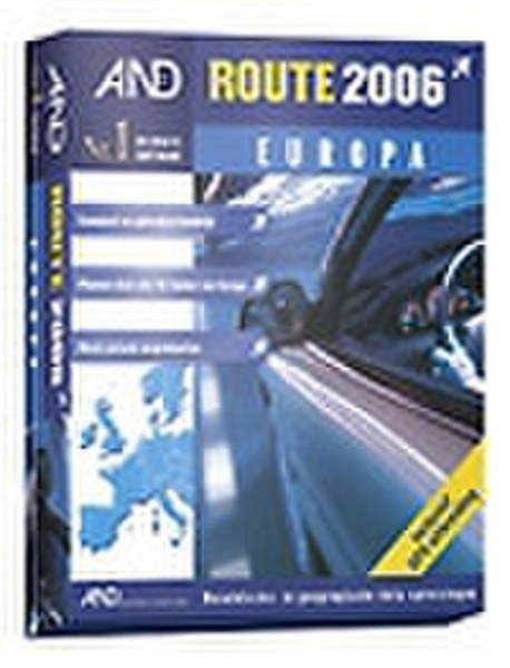
Route 2006 Europa
With this new 2006 version AND adds an extra dimension to route planning within Europe. The up-to-date road scheme information guides you through all 50 European countries, even at neighbourhood level. Of course, this unique European Route Planner also contains many practical and surprising possibilities. It is, for example, easy to make outline maps.
All of Europe: well over 6 million kilometres of roads!
The road maps of AND Route 2006 Europe cover all of Europe (50 countries), consequently not only Western Europe. By simply entering a postal code or city you can plan your route at neighbourhood level, within large cities or even within the smallest villages.
Standard functionality:
- the most up-to-date road scheme.
- very detailed maps, also for water expanses.
- quickly calculate routes and alternative routes.
- unrestricted zooming in on the map.
- find locations easily by using wildcards.
- excellent printing quality.
- simply create favourite locations.
- print or mail route description.
- type of route adjustable (e.g., business or tourist).
- enter stop-overs effortlessly.
- calculate the costs per route.
- easy to understand route description (level of detail adjustable)
cartographic maps
and much more ...
En route with your GPS
It is possible to extend this Route Planner with GPS functionality. Extension with GPS functionality is effected from within the program FOR FREE!
By connecting a GPS antenna to the serial port of your laptop, you can see your position and the direction of where you're going on the map. The map is continuously centered around your position, so that you can always see where you are.