目錄的
-
目錄的
- Antiquitäten & Kunst
- Auto & Motorrad: Fahrzeuge
- Baby
- Bücher
- Camping & Outdoor
- Feinschmecker
- Haustierbedarf
- Heimwerken & Garten
- IT和电子
- Kleidung & Accessoires
- Modellbau
- Musik
- PC- & Videospiele
- Sammeln & Seltenes
- Spielzeug
- TV, Video, DVD
- Telekommunikation
- Uhren & Schmuck
- Wellness & Beauty
- fashion & lifestyle
- institutional food services equipment
- medical equipment, accessories & supplies
- 个人护理
- 休闲爱好
- 办公设备,用品和配件
- 商业与工业
- 家居,建筑,装修
- 家用电器
- 摩托车及配件
- 武器和弹药
- 照相机
- 花园和庭院
- 运动,娱乐及休闲
- 食物
- 高保真音響
Filters
Search
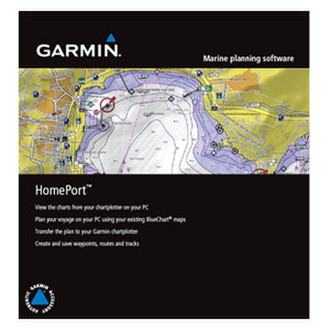
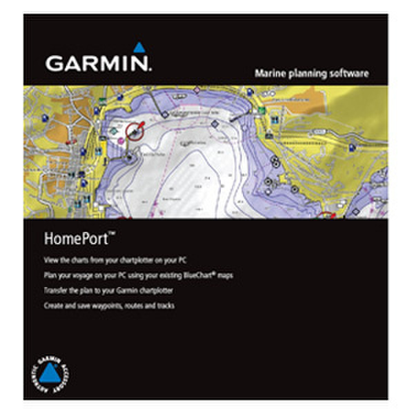
Garmin 010-11423-00 navigation software
凡购买和价格 (Advertising *)
顶部
技术特点
顶部
许可证
| 地理范围 | HomePort |
|---|
系统要求
| 最低内存 | 1024 MB |
|---|---|
| 最低处理器 | 2.0 GHz Pentium 4 |
| 最小硬盘空间 | 250 MB |
技术细节
| 平台 | PC |
|---|
010-11423-00 - HomePort, microSD/SD, GPSMAP 6012, GPSMAP 4008, GPSMAP 4010, GPSMAP 4012
Before heading out on the open water, plan your voyage with HomePort — marine trip-planning software¹ that lets you plan and organize routes from the convenience of your computer.
Use your existing BlueChart® preprogrammed card, or transfer the preloaded maps² directly from your chartplotter to an SD™ card. Then simply plug the card into your computer's card reader to start planning your voyage.
Navigating waters with no visible landmarks or shallow shorelines can be a daunting task for even the most experienced navigator. With your existing BlueChart data together with HomePort on your computer, you’ll have the ability to view map details such as underwater hazards and hidden obstacles and plan a route to avoid them.
HomePort also offers features such as depth profiles, distance and bearing measurements, and tidal predictions.
Manage Your Data
In addition to managing waypoints, routes and tracks, you can store information from past voyages right on your computer. HomePort also will help you create point-to-point routes, determine fuel usage and estimate your travel time for each leg of your route — saving you time and money.
View Marine Charts
It’s easy to browse and view chart detail on your computer screen and mark waypoints and other points of interest. When finished, send the data to an SD card or proprietary Garmin datacard to load into your compatible Garmin chartplotter or sounder.
- Displays both fishing and navigational charts from BlueChart g2 Vision.
- Allows user to measure distance and bearing on the charts.
- Displays route/track depth profile.
- Converts tracks into point-to-point routes (track to route conversion) and specifies the speed for each leg of the route.
- Provides ETA and arrival times (for each leg) when you create routes.
- Shows animated playback of data collected on device.
- Calculates fuel consumption (based on fuel flow data provided by the user).
- Exports selected data to Google™ Earth.
- Displays statistics and graphical information about tide stations, tidal streams and currents.
- Displays grid lines to show latitude and longitude.
- Allows you to manage waypoints, routes and tracks.
- Allows you to view the map north-up, map-up or course-up.
- Displays celestial information such as sunrise, sunset and moon phase.
- Displays photos and point-of-interest detail.
- Supports vector charts.
- Includes worldwide basemap.
- Allows multiple map views.
-
支付方式
我们接受:


