能量控制
| 支持的的电池数量 |
3 |
| 电池类型 |
AA |
| 电池寿命(最大值) |
16 h |
技术细节
| 打猎/鱼日历 |
Y |
| 图片浏览器 |
Y |
| 追踪记录 |
Y |
| 单位对单位转让 |
Y |
| 潮汐表 |
Y |
| 面积的计算方法 |
Y |
| 日月相功能 |
Y |
| 航点 |
Y |
导航
| 在线服务 |
N |
| 照片导航 |
Y |
| 自动路由 |
Y |
| 气压高度表 |
Y |
| 电子罗盘 |
Y |
| 航线数量 |
200 |
| 交通信息频道(TMC) |
N |
GPS类型
| 高尔夫球 |
N |
| 卡车 |
N |
| 自动 |
N |
| 户外(登山,远足) |
Y |
| 地理寻宝 (gps寻宝) |
Y |
| 海洋(图绘图仪,探测器,测距仪鱼) |
N |
| 体育(健身,跑 步,骑自行车) |
N |
| 航空 |
N |
另外
| 包括 AC 适配器 |
Y |
| 导航点/喜爱点数量 |
4000 |
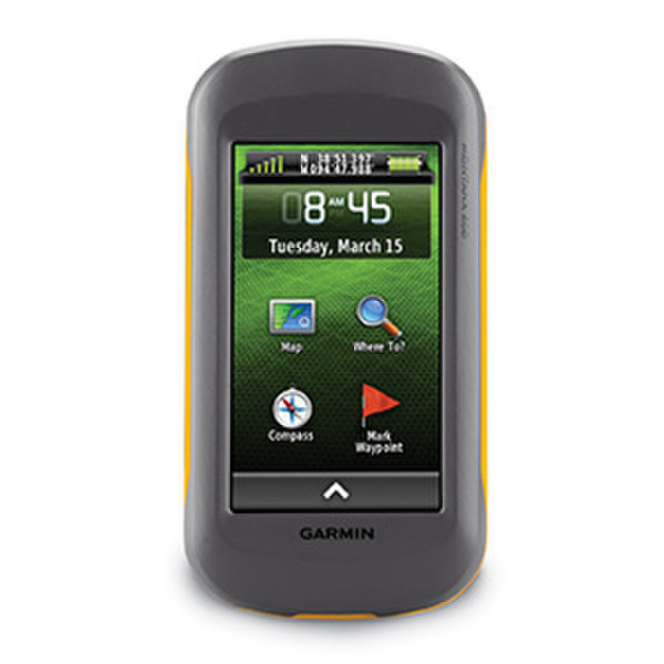
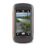
10.16 cm (4 ") TFT, 272 x 480, IPX7, USB & NMEA 0183, 3GB, microSD
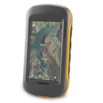
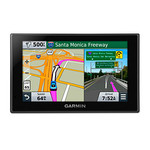
The Montana™ 600 TrekMap Italia Bundle is the perfect all-in-one GPS navigation solution for your next adventure. The bundle includes the outdoor GPS device Montana™ 600 featuring a 4'' bright color touchscreen display with dual orientation and perfect readability under any light condition and TrekMaps for Italia.
<b>Rugged and ready</b>
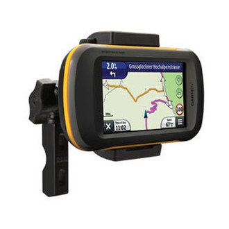
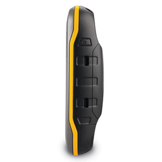
The Montana™ 600 TrekMap Italia Bundle is built rugged, waterproof and tough. It features a high-sensitivity GPS receiver, with HotFix® for optimal positioning, to guide you during all kinds of adventures. It supports multiple types of maps and offers optimized user profiles for various activities including motorcycling, all terrain adventures, boating or use on a snowmobile to name but a few.
<b>Maps for all</b>
The Montana™ 600 TrekMap Italia Bundle comes standard with a microSD card slot for the right mapping for your next adventure. It supports City Navigator®, Garmin Topo Maps, Bluechart®g2, Garmin Custom Maps and BirdsEye™ maps and imagery. Download BaseCamp™, a free utility that allows users to plan and manage trips, routes, tracks, and waypoints and transfer them between the computer and The Montana™ 600 TrekMap Italia Bundle. The great thing with BaseCamp™ is, you can use your TOPO maps right away from the preprogrammed microSD card no installation or unlocking process needed. Just plug the card or your GPS into the computer and start convenient planning with optional 3D view on PC or MAC. With Track Draw, users can trace a fluid track and get an immediate elevation profile to determine the difficulty of their ride, hike or geocaching adventure.
<b>Stay on course</b>
As our flagship all terrain GPS, The Montana™ has key outdoor features such as a 3-axis tilt-compensated compass which shows you accurate headings even when you're standing still and no matter how you hold or mount the device. It also has a barometric altimeter that gives very precise elevation information and accurate elevation plot over time. Plus, with Garmin's unique dual battery system you'll have enough power to last even if you take your Montana™ out of the powered cradle.