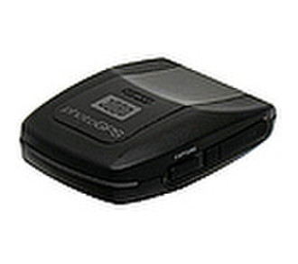
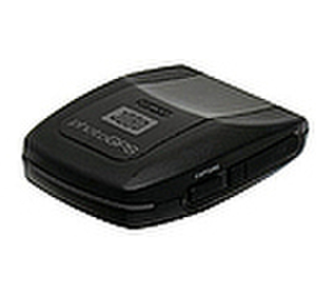
PhotoGPS 2 - 10 m, USB 2.0, 120 mAh Li-poly, 80g, Black
Storing GPS data and real address information for every picture has never been so simple!
- Capture geo-data on site (with the JOBO photoGPS);
- Automatically combine GPS and location data with pictures (using included Matching software);
- Search, sort and organise all pictures acc. to country, city, street (using included Organizer software).
Capturing geo-data incl. actual address has never been so simple!
Mount the JOBO photoGPS on your camera’s hot-shoe and capture the geo-data of each picture by the click of your camera. Coordinate the geo-data and your pictures on the PC or laptop, using the supplied software. In addition to the longitude and latitude, the address – i.e. country, city, street and closest point of interest – is captured in the image file. This enables you to search for specific places, streets or POI without having to tag each picture individually. Software is also included to organise, find and sort pictures.
- Recording time: approx. 0.2 sec;
- Storage capacity: approx. 2 000 resp. 4 000 recorded locations;
- Accuracy: approx. 10 m;
- Geo-data: via Tele Atlas map material (country, city, street, POI);
- Camera connection: standard hot-shoe (ISO 518:2006);
- Supported file formats: JPEG, RAW with XMP sidecar file;
- Power supply: internal rechargeable Li-poly battery (120 mAh);
- Status information: via 2 LEDs;
- PC connection: USB 2.0;
- Battery charging: via USB 2.0;
- GeoHint button;
- Supported operating systems: Windows XP (SP2) and Vista (SP1), MAC (Intel Processor);
- Dimensions: 68 x 20 x 43 mm (excl. adapter);
- Weight: 80 g;
- Incl. USB cable, CD-ROM with photoGPS matching software, organiser and viewing software.