License
| Geographic coverage |
Upper East Coast |
System requirements
| Minimum processor |
PowerPC G4 |
| Minimum RAM |
1024 MB |
010-C0907-00 - TOPO U.S. 100K, Upper East Coast, microSD/SD, nüvi 250, zūmo 500, nüvi 310, Dakota 20
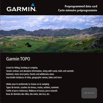
We've mapped every hill and valley for your next great adventure. TOPO U.S. 100K – Upper East Coast covers the finer points of the outdoors, with topographic maps comparable to 1:100,000 scale USGS maps. TOPO U.S. includes terrain contours, topo elevations, summits, parks, coastlines, rivers, lakes and geographical points. TOPO maps are ideal for hiking, hunting, camping, cycling and communing with nature. Coverage includes topographic detail of Virginia, West Virginia, Maryland, Delaware, New Jersey, Pennsylvania, New York and the New England States, as well as parts of Ohio, Tennessee, North and South Carolina and Georgia.
- Includes topographic coverage of Virginia, West Virginia, Maryland, Delaware, New Jersey, Pennsylvania, New York and the New England States. Also includes extreme eastern Ohio, eastern Tennessee, western North and South Carolina and northern Georgia.
- Provides detailed digital topographic maps, comparable to 1:100,000 scale USGS maps.
- Contains summit locations with elevation, coastlines, lake and river shorelines, wetlands and perennial and seasonal streams.
- Allows you to search by city, geographic point, summit, lakes and more.
- Provides elevation profile on compatible Garmin devices so you can estimate terrain difficulty.
- Contains many routable trails, rural roads, city neighborhood roads, major highways and interstates.
- Displays national, state and local parks, forests and wilderness areas.
- Includes points of interests such as parks, campgrounds, scenic lookouts and picnic sites.