Power
| Number of batteries supported |
2 |
| Battery type |
AA |
| Battery life (max) |
25 h |
Design
| Water-resistant |
Y |
| Form factor |
Handheld |
Technical details
| Hunt/fish calendar |
Y |
| Image viewer |
N |
| Tracklog |
Y |
| Unit-to-unit transfer |
Y |
| Tide tables |
Y |
| Area calculation |
Y |
| Sun & moon information |
Y |
| Waypoints |
Y |
Other features
| Internal memory |
1740 MB |
| Basemap |
Y |
Navigation
| Live service |
N |
| Photo navigation |
Y |
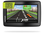
| Automatic routing |
Y |
| Barometric altimeter |
Y |
| Electronic compass |
Y |
| Routes quantity |
200 |
| Traffic Message Channel (TMC) |
N |
GPS type
| Auto |
N |
| Outdoor (hiking, trekking) |
Y |
| Geocaching (GPS stash hunt) |
Y |
| Marine (chartplotters, sounders) |
N |
| Sport (fitness, running) |
N |
| Aviation |
N |
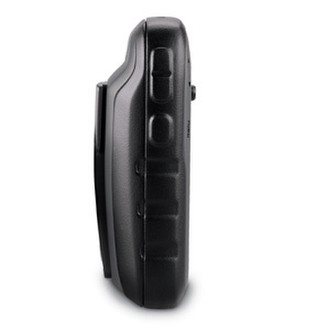
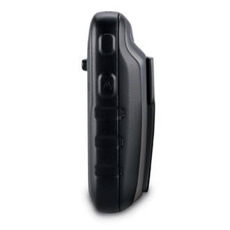
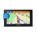
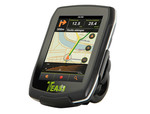
5.588 cm (2.2 ") TFT, 176 x 220, IPX7, USB, 1.7 GB, microSD
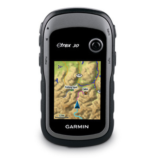
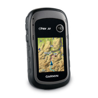
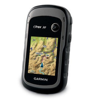
eTrex 30 takes one of the most popular and reliable GPS handhelds and makes it better. Enhanced ergonomics, an improved interface, paperless geocaching and expanded mapping capabilities makes eTrex more versatile and user-friendly, while maintaining its toughness and durability.
<b>See The Way</b>
eTrex 30 has an enhanced 2.2 in 65K colour, brilliant, sunlight-readable display. Durable and waterproof, eTrex 30 is built to withstand the elements. It has an upgraded interface and stands strong against the elements – be it dust, dirt, humidity or water, none of which are a match for this versatile navigator.
<b>The Right Tools for your Adventure</b>
eTrex 30 adds a built-in 3-axis tilt-compensated electronic compass, which shows your heading even when you’re standing still, without holding it level. Also added is a barometric altimeter which tracks changes in pressure to pinpoint your precise altitude, and you even can use it to plot barometric pressure over time, which can help you keep an eye on changing weather conditions.
<b>Get the Mapping You Want</b>
With its microSD™ card slot and 1.7 GB of internal memory, eTrex 30 lets you load our range of Ordnance Survey maps such as Garmin GB Discoverer™ and hit the trail, plug in BlueChart® g2 preloaded cards for a great day on the water or City Navigator NT® map data for turn-by-turn routing on roads (see maps tab for compatible maps). eTrex 30 also supports BirdsEye™ Select map download service that lets you download premium raster maps to your device and integrate them with your existing maps.
<b>Find Fun</b>
eTrex 30 supports geocaching GPX files for downloading geocaches and details straight to your unit. Visit OpenCaching.com to start your geocaching adventure. By going paperless, you're not only helping the environment but also improving efficiency. eTrex 30 stores and displays key information, including location, terrain, difficulty, hints and descriptions, which means no more manually entering coordinates and paper print outs. Simply upload the GPX file to your unit and start hunting for caches.
<b>Share Wirelessly</b>
eTrex 30 lets you share your waypoints, tracks, routes and geocaches wirelessly with other compatible Garmin GPS devices. So now your friends also can enjoy your favorite hike or cache – simply press “send” to transfer your information to similar units, and let the games begin.
<b>Keep Your Fix</b>
With its high-sensitivity, EGNOS-enabled GPS receiver and HotFix® satellite prediction, eTrex locates your position quickly and precisely and maintains its GPS location even in heavy cover and deep canyons.
<b>Go Anywhere</b>
With an array of compatible mounts, eTrex 20 can be used on your bicycle, boat, in your car or motorbike and off-road vehicle. You even get turn-by-turn directions with the auto mount and City Navigator® NT maps. Wherever you think you might take eTrex, it has the mapping and mounts to get you there.
<b>Go Global</b>
The new eTrex series is the first-ever consumer-grade receivers that can track both GPS and GLONASS satellites simultaneously. GLONASS is a system developed by the Russian Federation that will be fully operational in 2012. When using GLONASS satellites, the time it takes for the receiver to “lock on” to a position is (on average) approximately 20 percent faster than using GPS. And when using both GPS and GLONASS, the receiver has the ability to lock on to 24 more satellites than using GPS alone.