Catalog
-
Catalog
- Antiquitäten & Kunst
- Auto & Motorrad: Fahrzeuge
- Baby
- Business & Industry
- Bücher
- Camping & Outdoor
- Feinschmecker
- Garten & Terrasse
- Haushalt & Wohnen
- Haustierbedarf
- Heimwerken & Garten
- HiFi & Audio
- Home, Construction, Renovation
- Household appliances
- Kleidung & Accessoires
- Modellbau
- Musik
- PC- & Videospiele
- Photo & camcorders
- Sammeln & Seltenes
- Spielzeug
- TV, Video, DVD
- Telekommunikation
- Uhren & Schmuck
- Wellness & Beauty
- computers & electronics
- entertainment & hobby
- fashion & lifestyle
- food, beverages & tobacco
- garden & patio
- health & beauty
- institutional food services equipment
- medical equipment, accessories & supplies
- office
- sports & recreation
- vehicles & accessories
- weapons & ammunition
Filters
Search

Navionics MSDPREMN6 on the water navigator map
MPN: MSDPREMN6
🚚 Select the country of delivery:
Delivery from:
Germany
Sale and delivery by:
Where to buy and prices (Advertising *)
On Top
Technical specifications
On Top
Features
| Region location | North America |
|---|---|
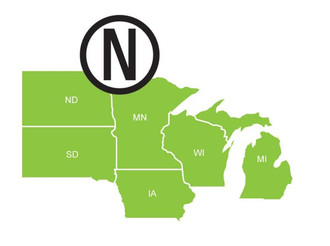
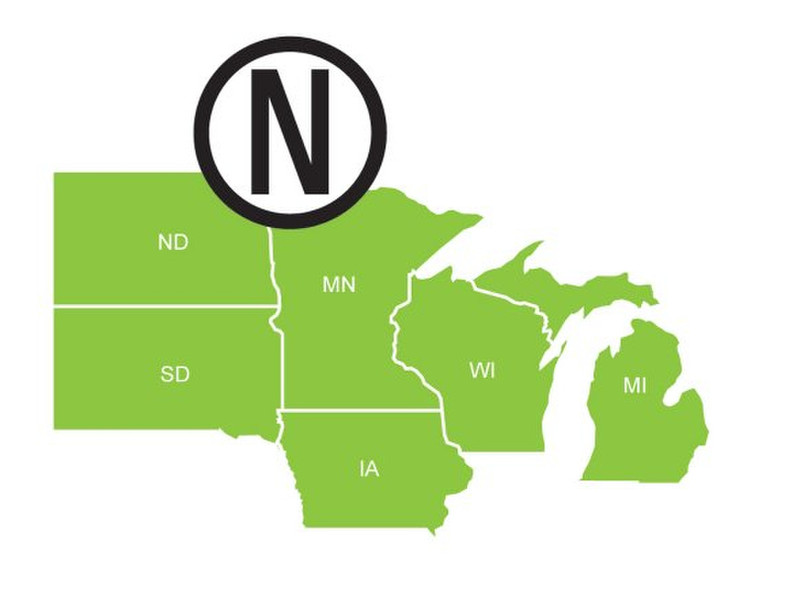
| Coverage details | Premium North Lakes USA |
Premium North Lakes USA
<b>Get more with Navionics+</b>
You can have all five HotMaps Premium regions, including a growing list of more than 18,000 lakes, plus get marine charts for all of US & Canada and SonarChart™ on one Navionics+ card! Available in a preloaded version or fully downloadable, Navionics+ offers flexibility and tremendous value.
<b>Updates</b>
If you already own a HotMaps Premium card, you can use it to activate Navionics Updates and access valuable Navionics+ content including SonarChart HD bathymetry and one year of daily updates at nearly half price!
<b>More than 18,000 lakes</b>
A clear, easy-to-use display of all detail from the best sources available! Search our lake list below for your favorite lakes.
<b>Nautical Chart</b>
From shoreline to deep water, Nautical Chart includes boat ramps and docks, spot soundings, contours and underwater structure such as road beds, bridges, stumps, culverts and creek channels.
<b>Community Edits</b>
Benefit from valuable local edits made by Navionics mobile app users, like bait shops, fuel docks, seasonal buoys and fishing spots. Viewable on select GPS chartplotters.
<b>Freshest Data</b>
Take advantage of daily updates when you download Freshest Data - free for one year with HotMaps Premium cards.
<b>Compatibility</b>
HotMaps Premium is compatible with chartplotters from most leading manufacturers.
<b>WebApp</b>
Check out your favorite lakes on our WebApp to see Nautical Chart and SonarChart included with Navionics+.
-
Payment Methods
We accept:


