License
| Geographic coverage |
Austria, Germany, Italy, Switzerland, Slovenia |
System requirements
| Minimum RAM |
1024 MB |
| Minimum hard disk space |
2000 MB |
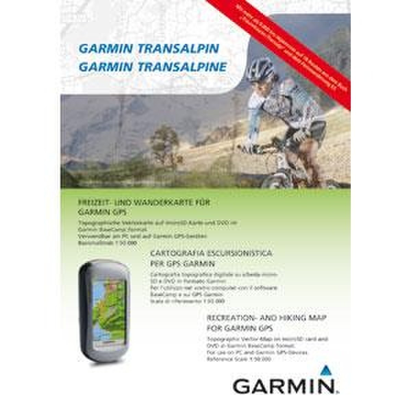
Garmin TransAlpine, DVD and microSD/SD Card
Garmin TransAlpine is the ultimate map for outdoor recreation in Austria, Germany, Italy, Switzerland and Slovenia. The first border crossing topographic map for the eastern Alps, Garmin TransAlpine is the ideal 1:50,000 vector map for your compatible device. It includes hiking and mountain biking trails, alpine points of interest (POIs) such as mountain peaks and crossings, and general tourist POIs such as hotels and restaurants. Garmin TransAlpine combines a practical BaseCamp DVD with a preloaded microSD/SD card to ensure that you always find the right tracks for your alpine adventure.
Garmin TransAlpine is intended for use in Europe. All content and map data is available in the official main language for the particular country.
- Provides a digital topographic map bundle, including DVD and microSD/SD.
- Includes coverage of selected areas and provides detail in Austria, Germany, Italy, Switzerland and Slovenia.
- Includes height contour lines in 25 meter intervals and a 3-D digital terrain model (DTM).
- Displays land use such as forests, lakes, streams and mountains.
- Provides main road networks for the entire coverage area.
- Contains additional trails and secondary tracks for Austria, Germany and South Tyrol.
- Provides routes on the enclosed road and trail network.
- Includes alpine points of interest (POIs), including 9,000 km of premium mountain bike trails, 2,000 refuges, 21,000 mountain peaks, 2,400 passes and crossings, and the E5, the European long-distance hiking trail.
- Includes general tourist POIs, including hotels, campgrounds, outdoor shops and more.
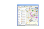
- Allows trip and waypoint management, including the upload of maps, waypoints, routes and tracks, with BaseCamp software.